
Specialization

Enabling governments to digitize various foundational data elements (automated georeferencing of farm boundaries, digital crop surveys) to build Agri Stack.

Analytical solutions built on top of Agri Stack Data and APIs empowering governments, agri-businesses & lenders to make better decisions.

Highly Customized, Geographic Information System (GIS) based Decision Support Systems, featuring powerful, deeply embedded analytics for precise insights.

About Us
FarmwiseAI is at the forefront of Geospatial AI, transforming how public policy and governance decisions are made. We specialize in AI-driven agriculture, Agri Stack infrastructure, and urban planning solutions, equipping governments and institutions with powerful geospatial intelligence. Our advanced GeoAI products deliver real-time insights that drive sustainable development, risk assessment, and policy execution—all while optimizing resources on a large scale. By unlocking the full potential of location-based data, FarmwiseAI empowers decision-makers to rethink governance, enhance transparency, and build a future-ready world.


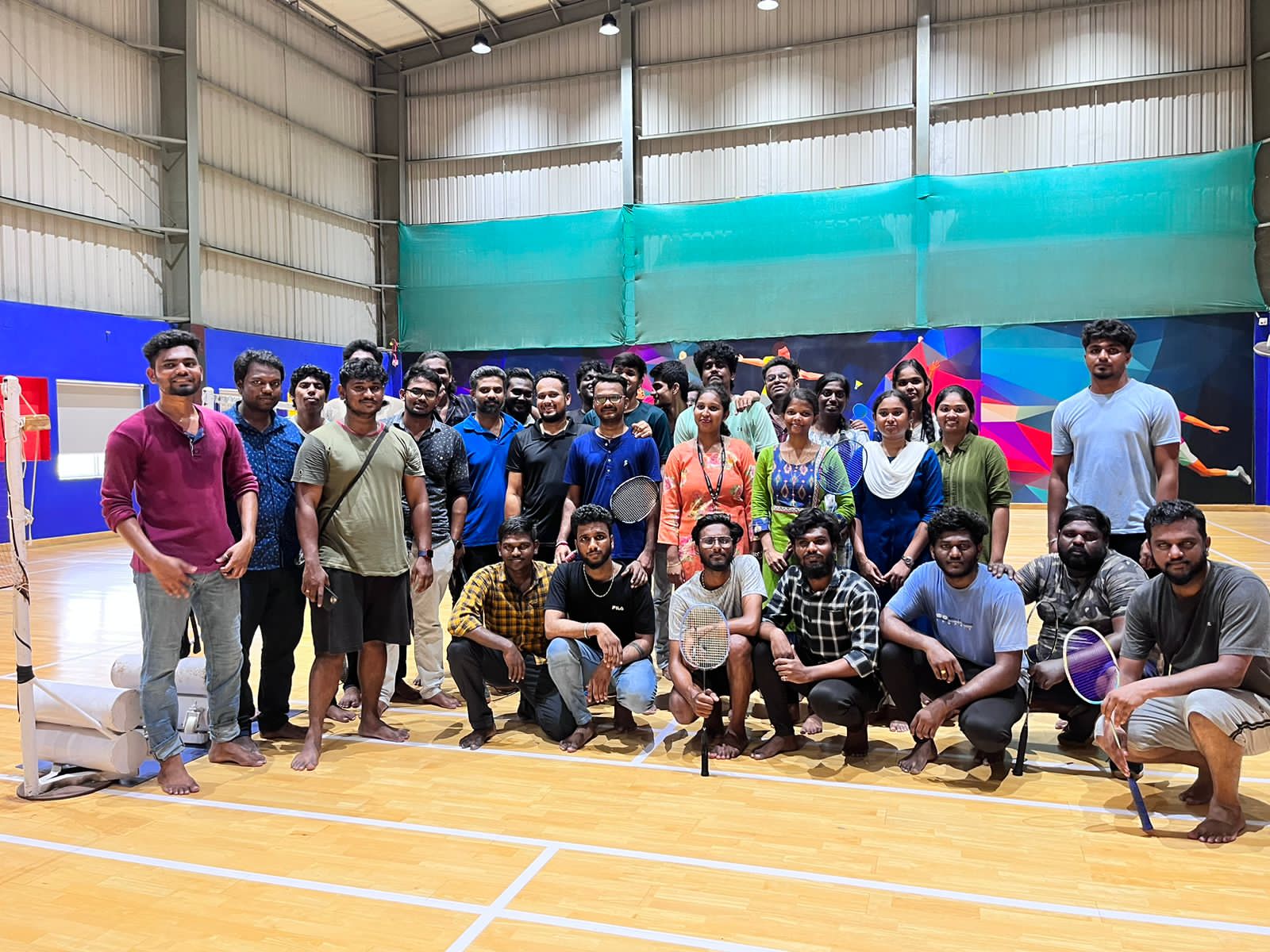
Life at FARMWISEAI